At Kleon Solutions, we believe in bringing clarity to complexity — and visibility to what’s often unseen.
That’s why we’ve taken our WireDetector a step further.
By integrating it with a GNSS sensor, we aimed to display detected obstacles — like wires and lines — in real time on a satellite image or map. This added layer of spatial awareness allows pilots and operators to not only detect threats, but also see exactly where they are, overlaid on a real-world visual reference.
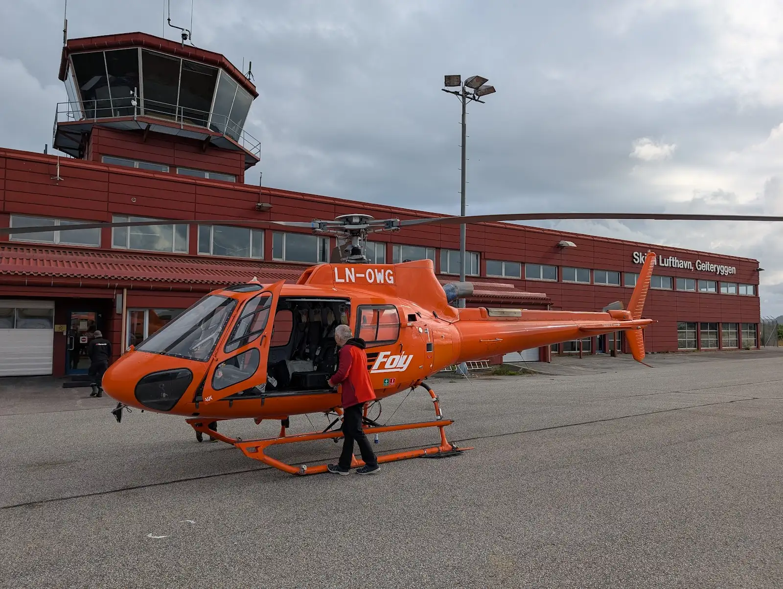
In March, we conducted field tests to collect both high-resolution positioning data and aerial imagery. This allowed us to refine the system offline and ensure accuracy before going live. This test was done with good help from Fonnafly AS

By June, we were ready for real-world testing. We mounted the system on the aircraft (a process that takes approximately 15 minutes for a certified service technician) and gathered pilot feedback during actual missions. The results were encouraging — not only did the system perform as expected, but the visual context added a whole new dimension of usability for crews operating in unfamiliar or high-risk zones.

We’re now continuing to iterate on this feature — combining detection, precise positioning, and real-time visuals to deliver next-level situational awareness.
👉 Want to see how this system could work for your operations?
Get in touch with our team for a live demo or technical walkthrough.

.webp)