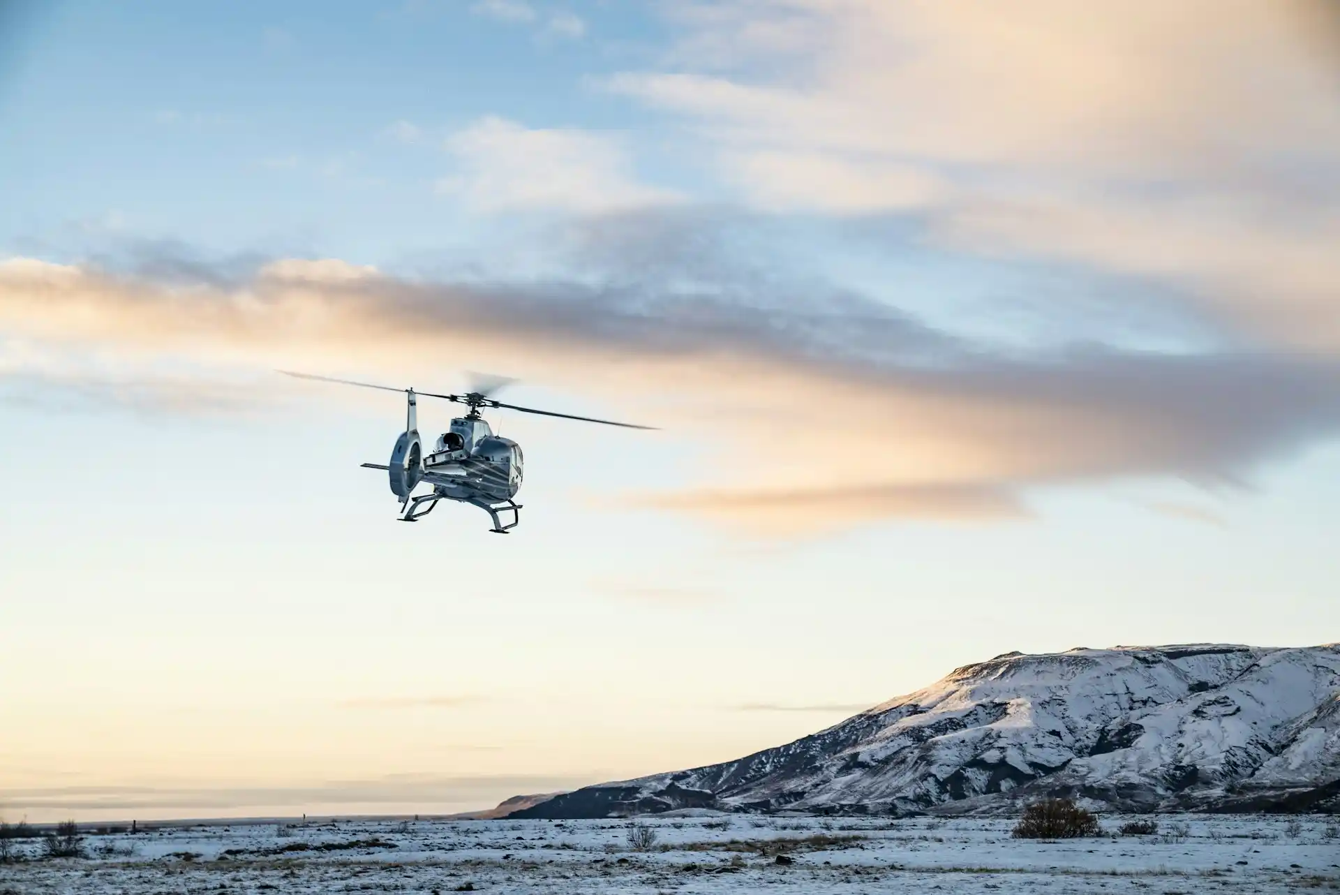

This video demonstrates how the Kleon solutions alert function works when flying low with a helicopter/drone over unknown terrain.


After an initial flyover over the area, the software will have registered the lines, showing them on the map in live video.
When the helicopter subsequently flies close to the identified lines, our solution measures distance and elevation over the registered lines and the pilot will be alerted when the aircraft is within dangerous proximity.
We're happy to discuss how this solution can be useful for your helicopter safety. Get in touch!
.webp)